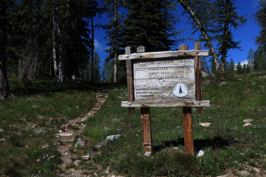
“PCT Sign north of Harts Pass on Slate Peak.” Photo by: Royce Conrad
Though we use 2,650 as shorthand for the length of the PCT, it actually shifts a bit year-to-year due to new construction, reroutes, and the like. To dig into this topic, see our previous blog post How long is the PCT really? – Pacific Crest Trail Association. Every January of each new year, PCTA works to incorporate any changes that happened over the last year to the PCT GIS data. We maintain our PCT Centerline (the trail location) and mile markers (points dropped every half-mile) and make it freely available to everyone! We also work with our government partners to ensure everybody has the latest data. Upon this year’s update, the PCT has been “shortened” by .06 mi – making it a total of 2655.78 mi long.
To determine this, I incorporated data from a few minor realignment projects and upgraded our data in some spots where we found our line to be outdated. These changes combined result in this very slight shortening of the PCT.
They are outlined below:
- Added data for an existing switchback just north of Bullfrog Lake. This was clearly visible in Sierra Nevada LiDAR data (Southern Sierra ~mile 789.8)
- A more direct crossing of the South Fork Kings River. The data had previously jogged around to a particular non-standard crossing point. (Southern Sierra ~mile 812.5)
- Bryan / Sayles reroute (Northern Sierra ~mile 1087)
- Round Valley reroute, work was done in 2020, but data hadn’t yet been updated (Northern Sierra ~mile 1162)
- Wind River reroute (Central Cascades ~mile 2180.7)
- Removed the Manning Park, BC connecting trail as Canada entry no longer permitted (Canada ~mile 2655.8)
The updated data is available for download on our PCT Data webpage.